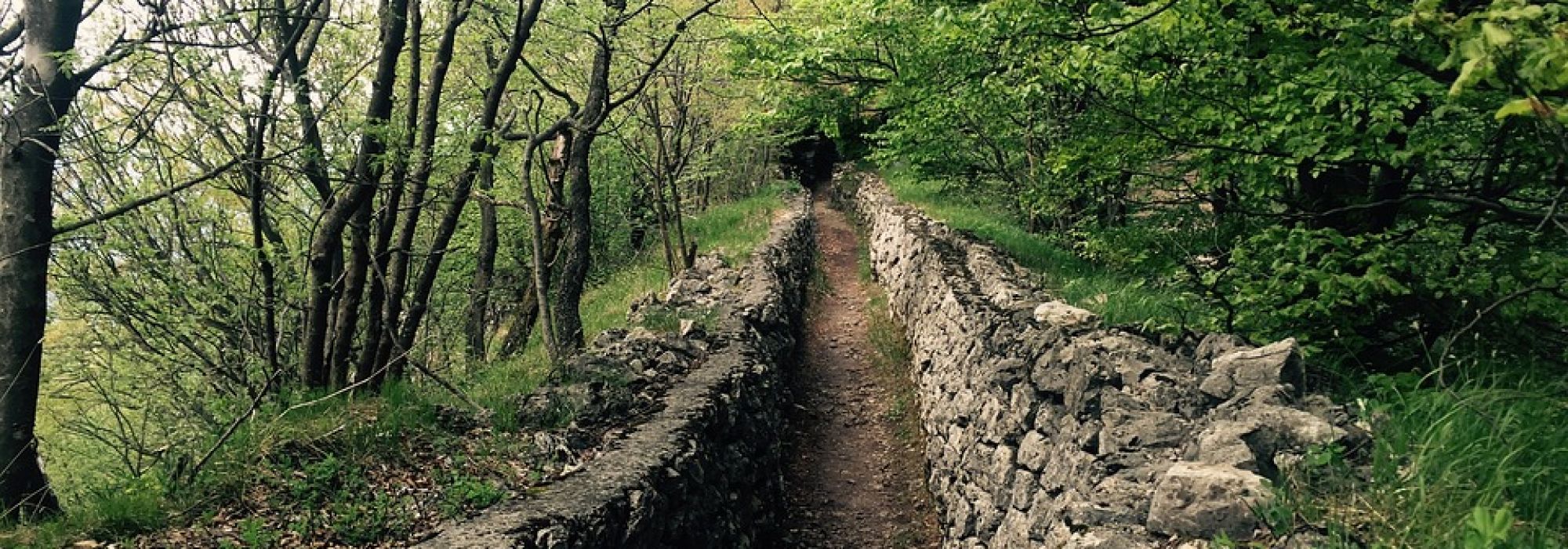
Walking along the ridge we can follow the connection between Monte Orsa and Monte Pravello.
The route, well marked, starts from the village of Viggiù (461m) where the signs to follow are the tourist ones that indicate the Cadorna Line. We proceed towards Colle Sant'Elia and continue until we meet the indications of the mountains that are our destination.
After the votive chapel it is possible to park at the beginning of a mule track called Sentiero degli Alpini. From here the path starts, and in a short time there is a fork: take the road on the left towards Monte Pravello to continue on the ridge in the woods.
The Monte Pravello at 1015 meters offers a view of the beautiful view of Lake Ceresio and the Pre-Alps above Lugano. Leaving the summit, the road continues up to the sign indicating Monte Orsa: from here you can see the fortifications and the educational panels that explain them, on the ridge that connects the two mountains.
From the top of Monte Orsa (998m) the view is very wide, it can range from the hills of Brianza to the Swiss Alps and even up to the Ossola mountains.
From here you return to Viggiù, following the signs to end the ring.


@andreascarlatti and @cavaliere.fabrizio
*The path is part of the itinerary n. 2 of the Cadorna Line
DETAILS:
- Duration: 4 hours
- Distance: 7 km
- Difficulty: medium
- Altitude: 550 mt.
- Starting point: Viggiù
- Arrival point: Monte Pravello
- Parking: yes, free


