The No. 11 trail starts from the corner of Via Sacconaghi and Via Piave (S.S. 394).
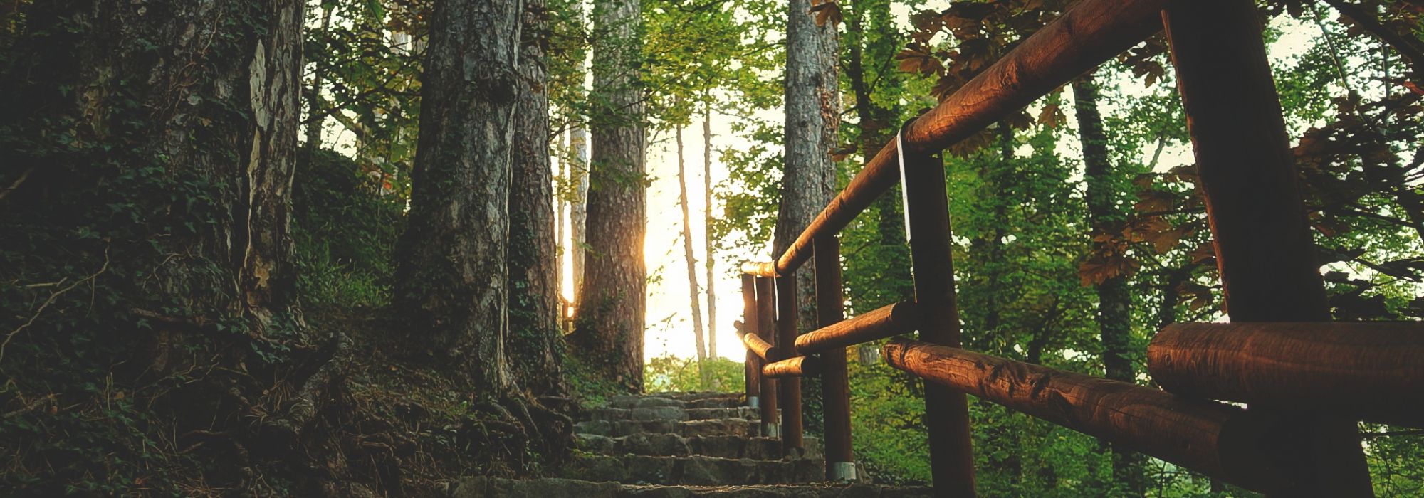
The route then climbs Via Sacconaghi and passes through an area called Vigne, which features the classic ledges or terraces that were built to manage the land. Follow the tarmacked road up the hill to the hamlet of Chignolo (which was once called Cugnolo) at 486 metres (1,595 ft) above sea level.
Next follow the cart track that leads out of the village square in Chignolo and climbs up the hill. The pool lies in a dip to the north of the Motta d’Oro hill and is in an advanced state of subsidence. This is one of the few pools or ponds on the southern slope of Campo dei Fiori, and thousands upon thousands of common frogs (Rana Temporaria) and common toads (Bufo Bufo) come here in the springtime to lay their eggs.
The cart track now climbs sharply and passes through an area called Zapelasc, after which you meet the No. 10 trail (Velate-Orino). The No. 11 trail continues to the left following the path of the No. 10 trail.
After a short climb we reach a large, sunny plateau where the characterful Cascina Caddè stands, an old lodge set in lovely rural surroundings encircled by meadows and with a spring gushing behind the archetypal country building.
Just past Caddè the route of the No. 11 trail splits off the No. 10 trail and heads uphill towards Orino.
The final part of the steep trail leads first through a fir-wood and then across a meadow to the army road that leads to Orino Fort. The final stretch of army road has several twists and turns before reaching the peak known as the Orino Fort.
DETAILS:
- Duration: 2 hours
- Distance: 5 km
- Difficulty: difficult
- Altitude: 760 mt.
- Starting point: Comerio, Via Sacconaghi
- Arrival point: Orino fort
- Parking: yes


