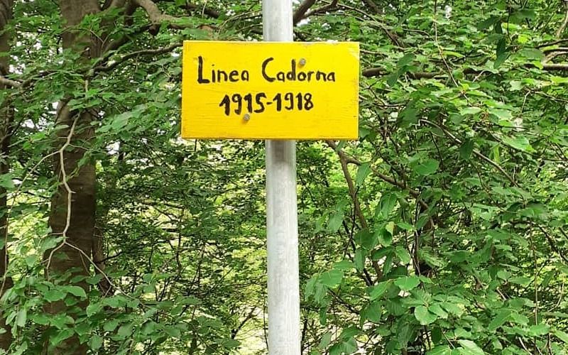
La linea Cadorna è stata costruita durante la Prima Guerra Mondiale per prevenire un eventuale attacco della Germania e dell’Impero austroungarico attraverso la Svizzera. La costruzione viene anche chiamata “Linea di difesa della frontiera nord”. Le trincee della linea si sviluppano lungo circa 72 km tra la Val d’Ossola e le Alpi Orobiche e al giorno d’oggi rappresenta una preziosa testimonianza del passato e grazie alle Comunità Montane le fortificazioni della provincia di Varese sono state ristrutturate e valorizzate individuando numerosi itinerari. Di seguito alcuni spunti per le passeggiate!
The Cadorna Line was built during World War I to prevent a possible attack by Germany and the Austro-Hungarian Empire through Switzerland. The construction is also called the "Northern Frontier Defense Line". The trenches of the line run along about 72 km between the Ossola Valley and the Orobic Alps, and nowadays it represents a valuable testimony of the past, thanks to the Mountain Communities, the fortifications in the province of Varese have been restored and enhanced by identifying numerous itineraries. Below are some ideas for walks!
SANTA MARIA DEL MONTE- FORTE DI ORINO
- Distance: 14 km
- Walking time: about 5 hours and 30 minutes
- Signs: yellow-red Cadorna Line, follow signs for the 3V (Via Verde Varesina) E1 and No. 1 trails of the Campo dei Fiori Regional Park
- Period: year-round, in winter the trails may be less safe due to ice and snow
Starting from Piazzale Lodovico Pogliaghi, follow Via Monte Tre Croci and take Trail 3V/n.1 of the Campo dei Fiori Regional Park to the small Pizzelle mountain pass. Near the latter are the "Prati Magri," meaning meadows that are in danger of disappearing if they are not mowed regularly. In addition, a mule track can be seen that leads to the former Campo dei Fiori funicular station.
Next, taking the stairway that follows trail 3V, one arrives at a square topped by a small church. Continuing on, you come to a hairpin bend below a military barracks and continue straight ahead (leaving 3V for a stretch). After a short ascent you catch a glimpse of a majestic, almost 360-degree panorama.
You then descend from the hairpin bend and follow the asphalt road (via al Forte) for about 400m to the crossroads, where you continue with paths E1 and No. 1 and continue to the Orino Fort.
For the return, it is possible to retrace the route taken on the outward journey.
PORTO CERESIO - BORGANNA
- Distance: 2.7 km
- Walking time: more than an hour
- Signposts: yellow-red Cadorna Line
- Period: spring
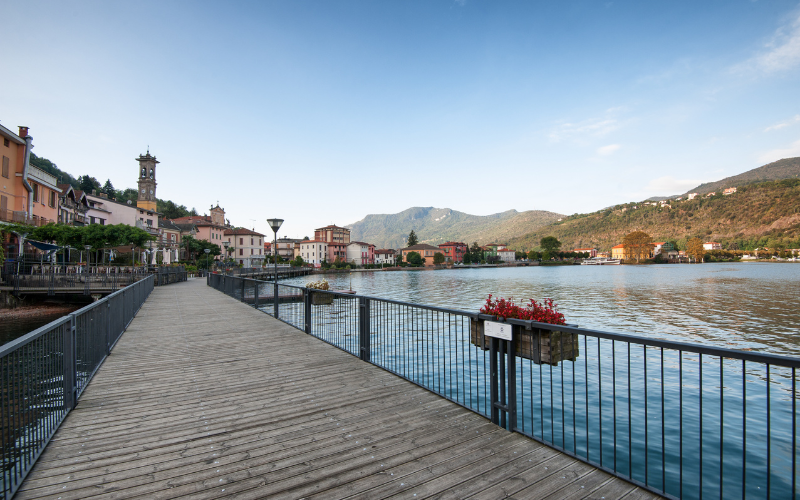
From Porto Ceresio one should head to the "Cantine" and climb the steps following the paths: Variant 3V Sette Termini-Porto Ceresio, Confinale, E1, Italia, Balcone Lombardo. Proceed for about 360m and turn left to climb up the slope until you reach the beginning of the entrenchments. Continuing northwest you come to the vicinity of the Vedetta Peak, where there are the ruins of a former military hospital. Following the trenches, you arrive at the Borgnana picnic area.
MARCHIROLO - MONTE LA NAVE
From the Church of San Martino in Marchirolo, one arrives at the Church of San Paolo and the adjoining convent. From this point it is possible to enjoy an extraordinary panorama of the Valganna, Valmarchirolo, the valleys and mountains of Canton Ticino and Lake Ceresio.
From here you can take the path through the woods at Alpe Paci along which you can see the escape routes, the niches where they kept supplies and two small barracks for shelter.
Continue to Monte la Nave where you can take two different paths leading to the observatory, which has an entrance arch.
Cover: @angelinademarsico
Discover trekking and bike paths around here.
 Dog of all sizes allowed in leash in compliance with the hygiene and public safety rules*
* For any other question please check the guidelines from the Municipalities
Discover our TOURS.
Plan your stay and your experience in the land of the lakes.


 Dog of all sizes allowed in leash in compliance with the hygiene and public safety rules*





 Varese